
Campaign for Better Transport’s Bus Mapping Tool, produced in partnership with Podaris, uses a traffic light system to identify which areas in England and Wales lack a decent bus service and where additional investment is needed.
It shows how many bus services operate a week; what percentage of the people living there can get to a bus stop within a five and ten-minute walk; the bus service frequency; what percentage of residents have access to a car; and how deprived the area is.
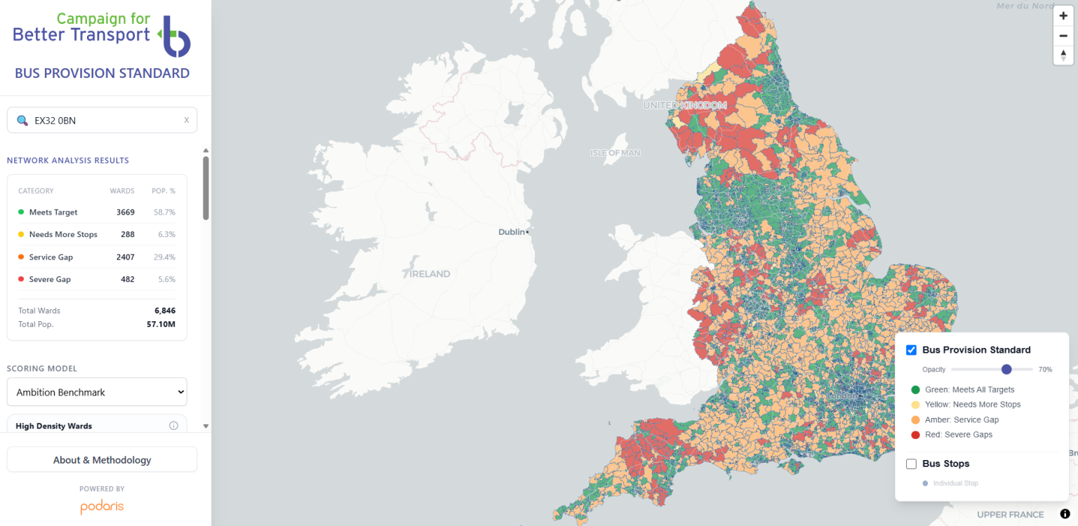
Each ward is scored green, yellow, amber or red against two bus service standard benchmarks:
- A minimum baseline (that everyone should have access to)
- An ambition benchmark (that local authorities can strive to get to in future).
